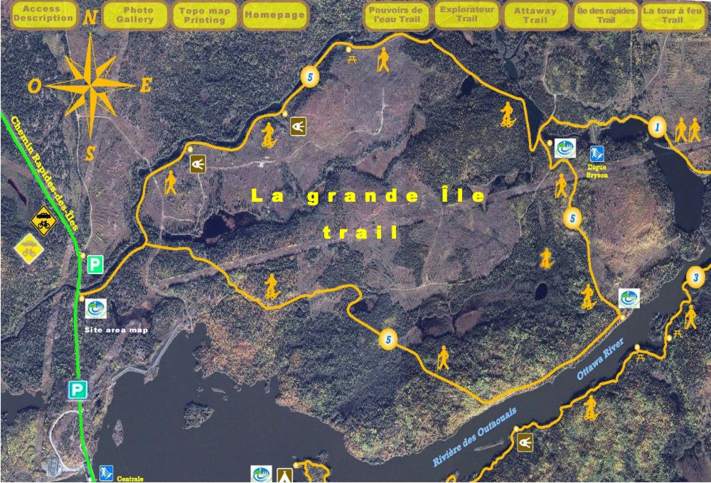
Access
For trail areas, as well as for a trail in particular,
consult the
Site Area Map
and the accompanying text for road assistance.
Access to La grande île” Trail
From Notre-Dame-du-Nord,take Route
101 North, 1.2 km past the Timiskaming First
Nation. You will turn right onto the chemin
Hydro-Québec and then turn left at
chemin Rapides-des-Îles. This brings you,
after 8 km,to the sentier de la grande île
trailhead just after the Bryson bridge.
Description
Trail # 5, looped, 9,8 km, considered as an easy trail for beginners in summer and
difficult in winter.
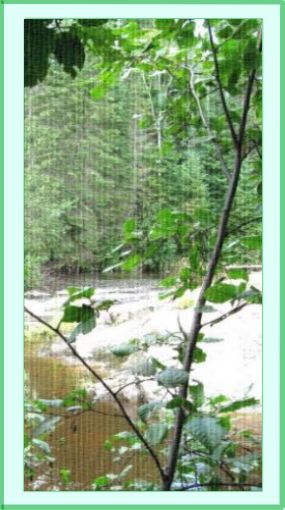
The Bryson stream runs beside this trail; it could have been named lycopodium because
so many wolf footprints are visible. After meandering for 2 km, we head to
the mountains towards Bryson dam where we encounter a series of small lakes.
At one point, there is a junction for “Les pouvoirs de l’eau” trail. Here we
can either take this trail or follow the trail that runs beside the rivière
des Outaouais. Because of a hunting camp built over sixty years ago, this
trail is closed during the moose hunting season. It is one of the most
beautiful winter trails for snowshoeing.
More…
Before Hydro-Electric Companies harnessed the Rivière des Outaouais,
beginning-of-the-century topographic charts teach us that the First Nations
borrowed an arm of this river in order to transport their fur traders, they
were able to eliminate portages by by-passing Rivière des Outaouais.
Top of page
Top of page Photo gallery
![]()
![]()
![]()
![]()
![]()
![]()
![]()
![]()